Tyting Farm
- Free parking (no height restriction)
- Bins
- Benches
- Beautiful part of the North Downs
- 2.4km circular walk on unsurfaced path
- Links to longer walks along the North Downs Way and into Chantry Wood
Where you’ll find it…
Find free parking for St. Martha’s Hill and Tyting Farm just off Halfpenny Lane, Chilworth, Guildford. Nearest postcode GU4 8PZ. Grid reference TQ 02143 48444. What3Words: misty.frosted.pint.
N.B. We’ve given the nearest postcode, but recommend using the links to look up the exact location. The centre of a postcode may be up to half a mile from your destination.
What you’ll find there…
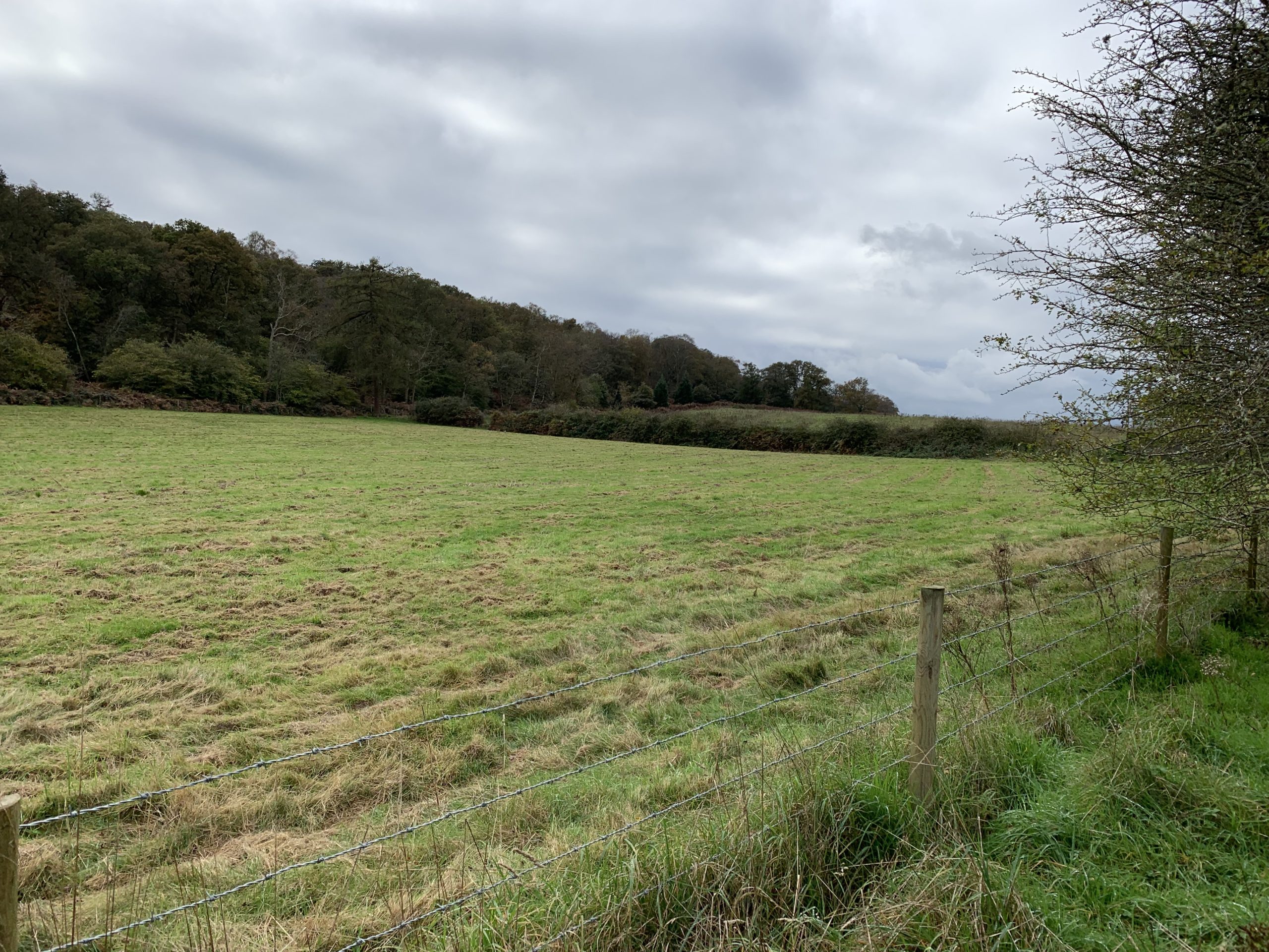
Beautiful stretch of downland on the outskirts of Guildford. Part of the Surrey Hills National Landscape and connecting with the North Downs Way.
Tyting Farm has a colourful history. It was purchased by the council in 1942, but was claimed by the War Department soon after and turned into a training school for the government’s secret Special Operations Executive during World War Two, with aeroplanes landing on nearby farmland.
In the 1950s the site was turned into a farm. The former Tyting Hall was demolished and several farm buildings were constructed.
Guildford Borough Council are restoring the landscape back to its original state, while also improving accessibility and habitats for wildlife.
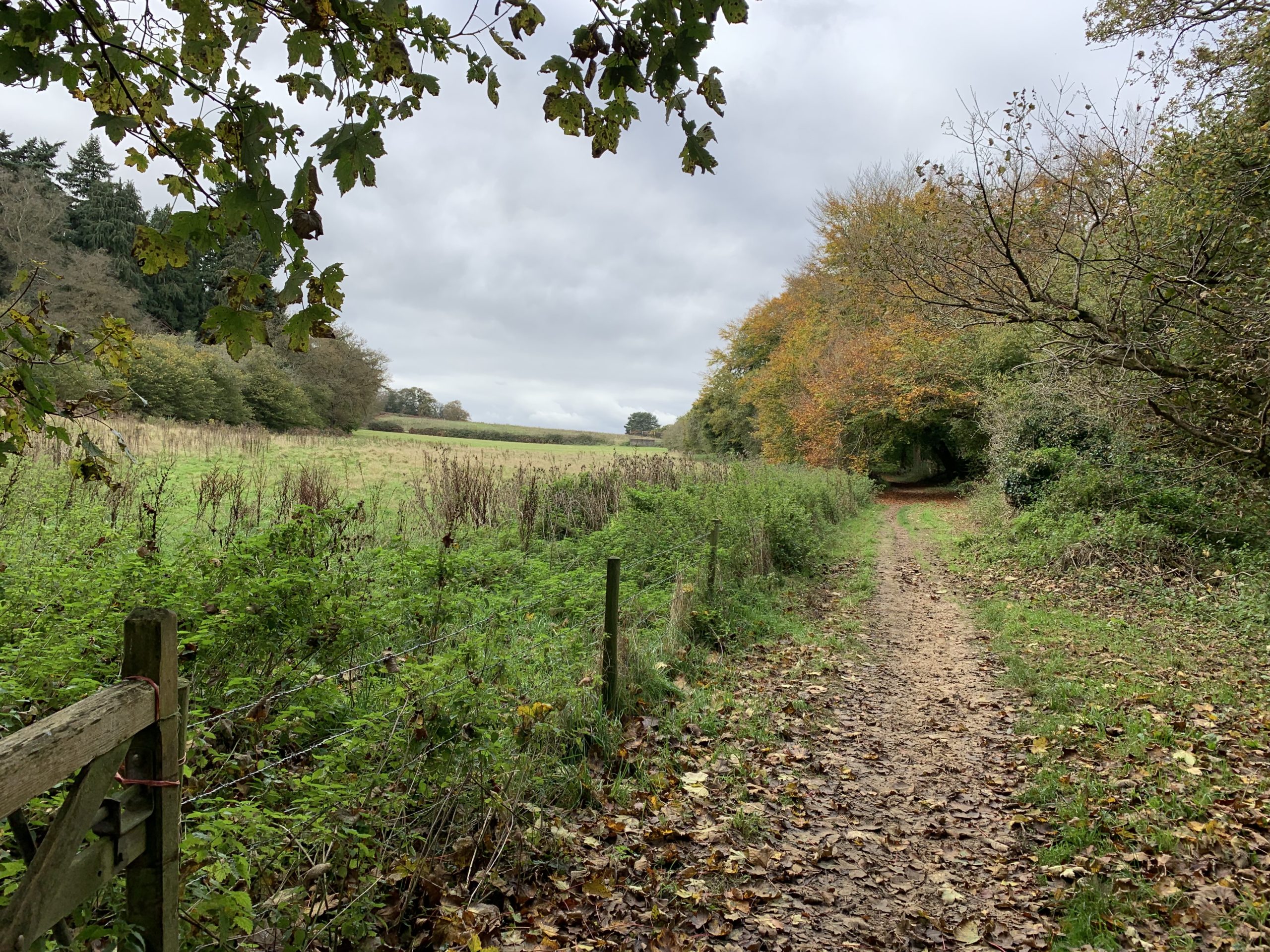
From Halfpenny Lane Car Park, follow the waymarker down a steep hill to Tyting Farm. A waymarker on Halfpenny Lane at What3Words: blur.scam.libraries, points to the link between Tyting Farm and Chantry Wood.
For longer routes, there are gates allowing access to land at St Martha’s Hill to the south of site. It also links to Newlands Corner.
Gallery…
-
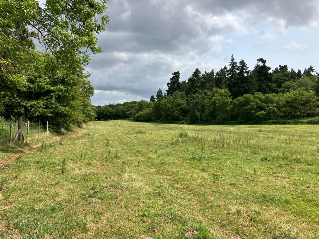
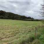
- Surfaced path Park Trail at Brox Meadows SANG.
-
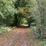
- Bridlepath at Tyting Farm, October 2024
-
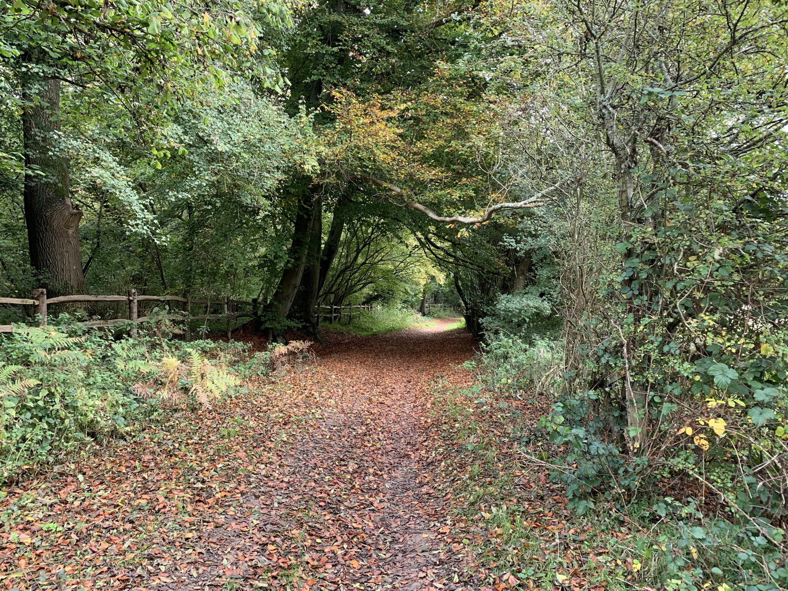
- The route from Halfpenny Lane Car Park to Tyting Farm, October 2024
-
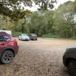
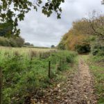
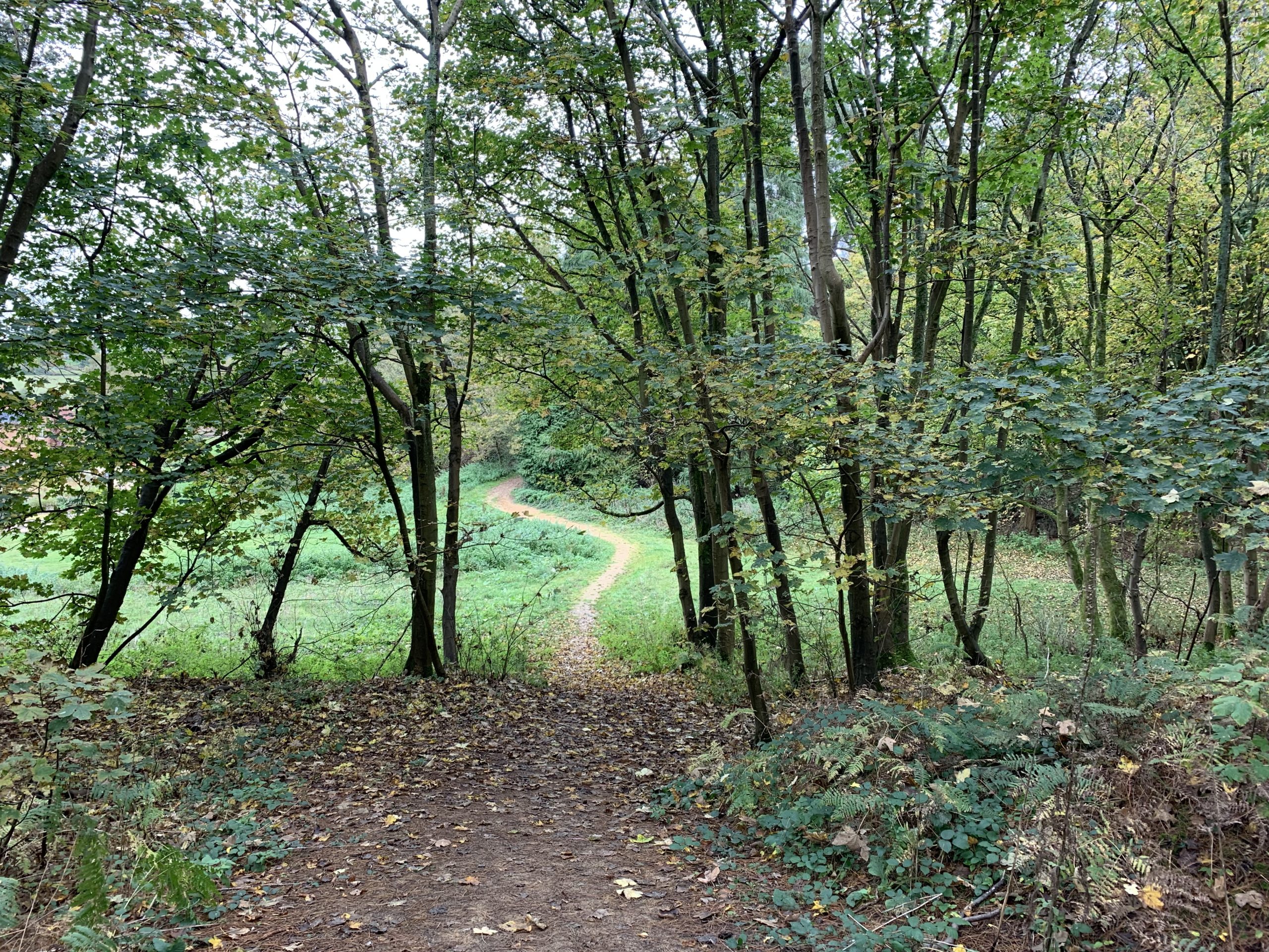
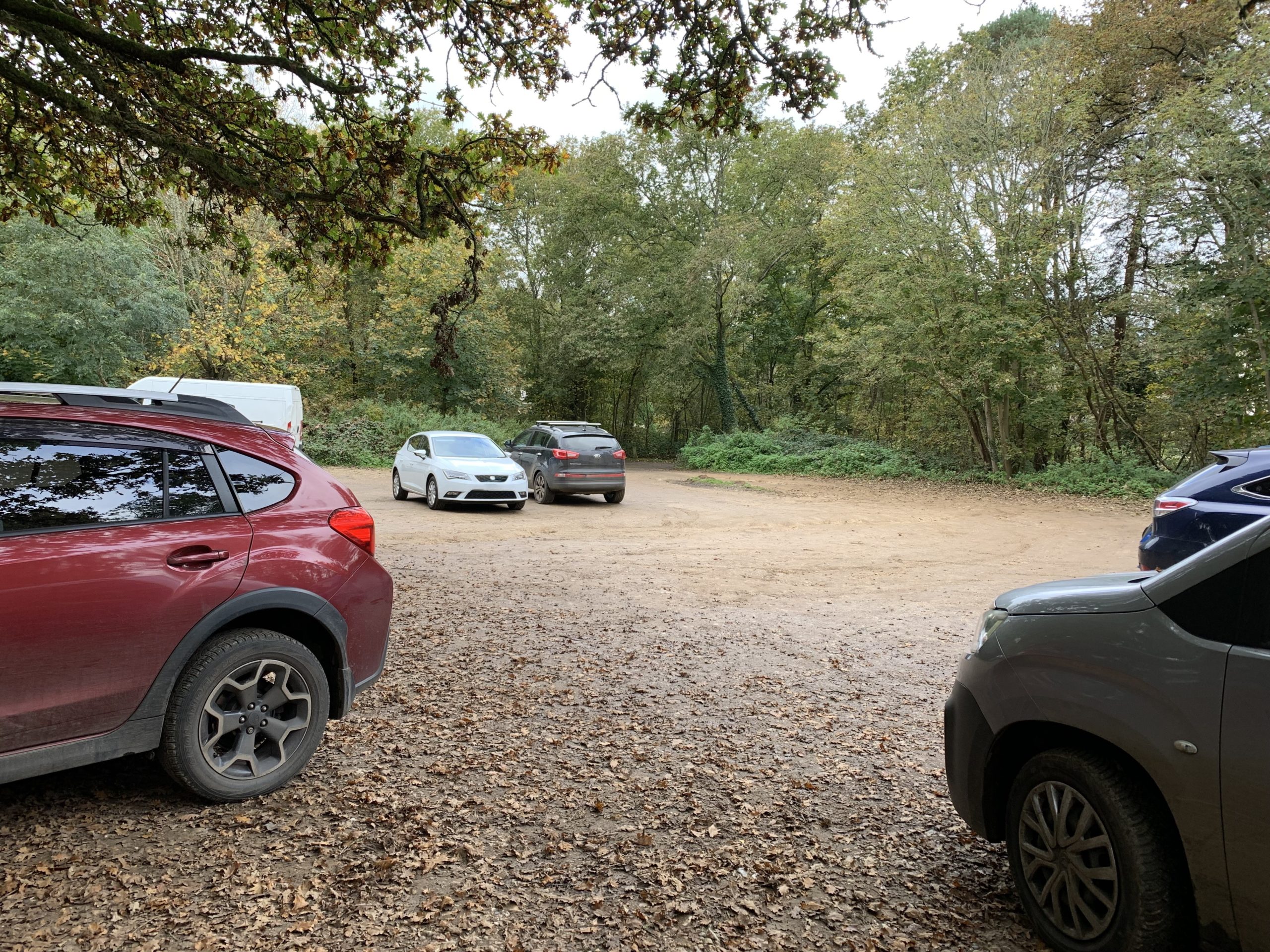
- Halfpenny Lane Car Park close to Tyting Farm, October 2024
-
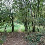
- Tyting Farm, October 2024